Project Gallery
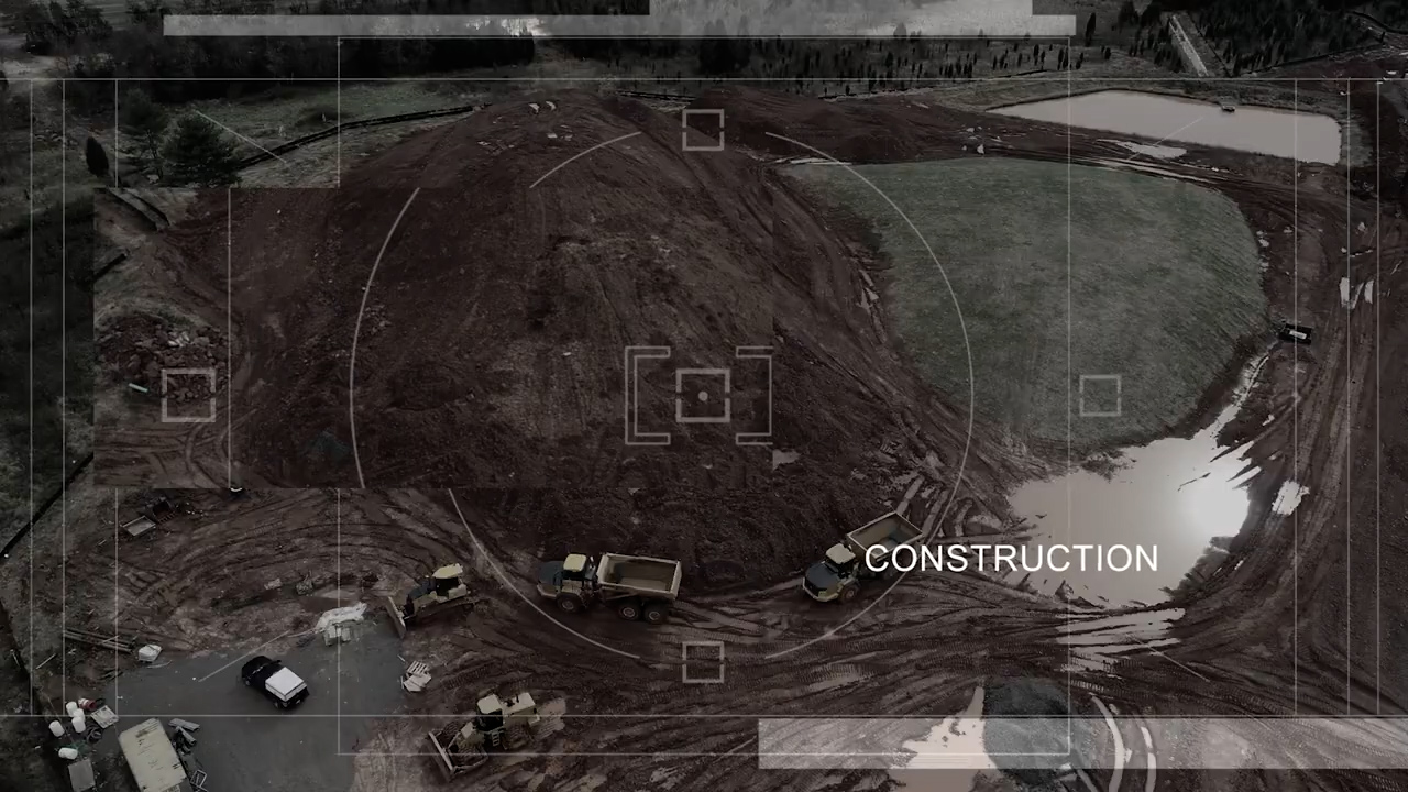
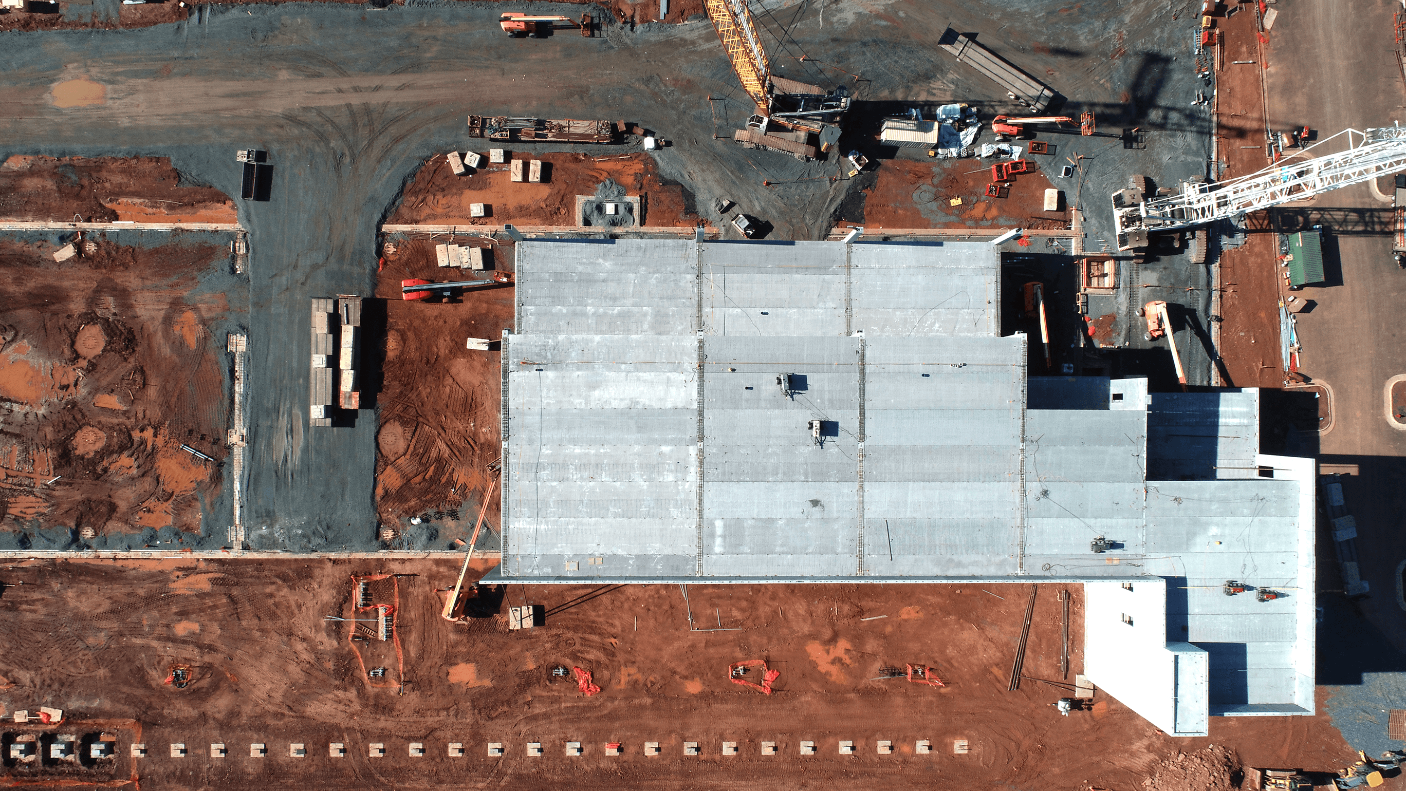

Specialized aerial documentation, mapping, and site intelligence for construction projects — including complex work sites located in flight restricted and highly controlled airspace.
Mid-Atlantic Drones specializes in construction drone services for projects that demand precision, consistency, and careful airspace coordination. From progress documentation and site photography to mapping, modeling, and reporting, we help construction teams see the job site clearly from every stage of the build.
We are especially experienced with construction projects located in flight restricted areas, where drone operations require stronger planning, proper documentation, and a clear understanding of approval requirements. Our process helps contractors, developers, owners, and project managers capture the data they need while keeping safety, compliance, and project timelines at the center of every flight.
Scheduled aerial photography and video at key milestones, creating a clear visual record of site activity, construction progress, and completed work.
Specialized experience supporting construction projects in flight restricted and controlled airspace, with careful attention to planning, documentation, and operational requirements.
Detailed aerial maps and site imagery that help teams review access, logistics, layout, staging areas, progress, and changing site conditions.
Photogrammetry-based models that allow teams to view, measure, inspect, and communicate site conditions without relying only on ground-level observation.
Stockpile, earthwork, and material volume documentation to support quantity tracking, planning, reporting, and project accountability.
Polished visual documentation for owners, lenders, contractors, agencies, and project stakeholders who need to understand progress quickly and clearly.
Tell us about your site, timeline, location, and airspace requirements. We’ll help you plan a documentation schedule or one-time site flight that supports your project goals.
Request a Consultation